Ceres Imaging Plant Level Insights Pt 3
I’m Bob Larson. Wouldn’t it be nice to know exactly where, when and how much water your orchard was in need of?That’s the thinking behind the aerial data collection by Ceres Imaging. They use fixed-wing aircraft to fly over your orchard and give you the stress info you need to take on every need with pinpoint accuracy.
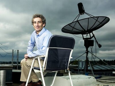
And, Ceres Agronomy Lead Jeff Divan says they’ll make sure you know how to use the mobile app and the data it provides …
DIVAN … “We definitely have a lot of resources that are published to help learn and then our folks, as much as the current health situation allows, are willing and able to get in front of our end-users, teach them what is being seen, what to look for, you know, doing that and a webinar if necessary, but yeah, we’re very responsive when it comes to helping our customers understand the images and what’s going on in the field.”
And, Divan says the data comes in an easy-to-use and understand format …
DIVAN … “Yeah, within the app itself, pretty straight forward to explain what those different pieces of information and colors mean.”
The data turnaround, Divan says is overnight …
DIVAN … “It’s a really quick process. After we fly the field, they get that data in about 24-hours so the turnaround is fast. But, yeah, as far as, kind of, when and where a lot of that gets set up in the off-season kind of leading into the season.”
Divan says growers can use Plant Level Insights to measure crop water stress with high-accuracy data that hasn’t been available until now.
