Notice: Undefined offset: 27 in /home/aevsb9u4ykmi/public_html/report.php on line 332
Notice: Undefined offset: 27 in /home/aevsb9u4ykmi/public_html/report.php on line 372


Comments
Latest Reports

Financing for Produce Growers
Fri Apr 26

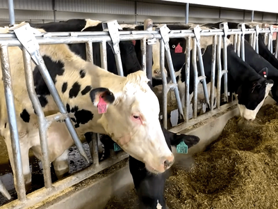
Moving Dairy Cattle? Get Ready for Testing!
Fri Apr 26


Mass on Drought Emergency Pt 2
Fri Apr 26

WPC on Lost Farms Pt 2
Fri Apr 26

Joe Anderson
Fri Apr 26

TX Citrus Under Fruit Fly Attack
Fri Apr 26