Latest Farm of the Future Reports
Comments
Latest Reports
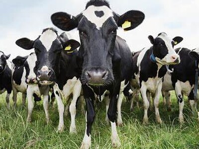
Keep Drinking Milk
Wed Apr 24
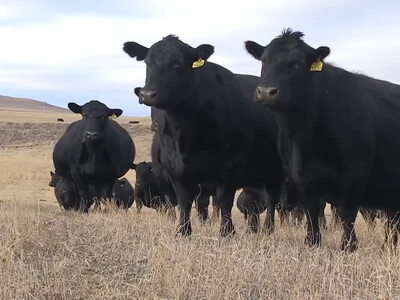
Beef Myth Busting Pt 2
Wed Apr 24
Climate Smart Specialty Crops Pt 2
Wed Apr 24
Teaching kids about Ag
Wed Apr 24